01 July 2021
Participation of leading specialists of the Department of Research and Design of Connections, Geodesy and Land Management in the webinar of Leica Geosystems “Capture of reality: a new era of development of laser scanning technologies”
Leading specialists of the department of research and design of roads, geodesy and land management are constantly improving their professional skills in order to bring education closer to the standards of the modern labor market and the requirements of employers.
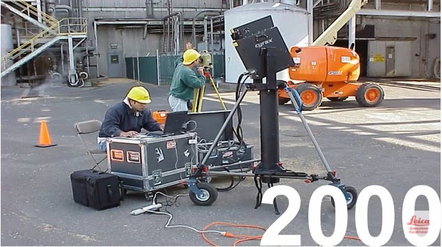
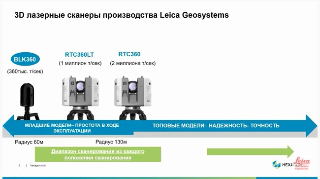
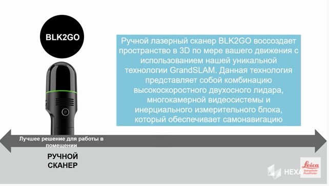
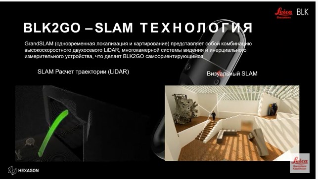
Leica Geosystems is our reliable partner in the field of laser 3D scanning. In order to determine the prospects for the use of geographic information systems and technologies in the field of design of roads, cadastral works in land management, a webinar “Capture of reality: a new era of development of laser scanning technologies” was held”.